

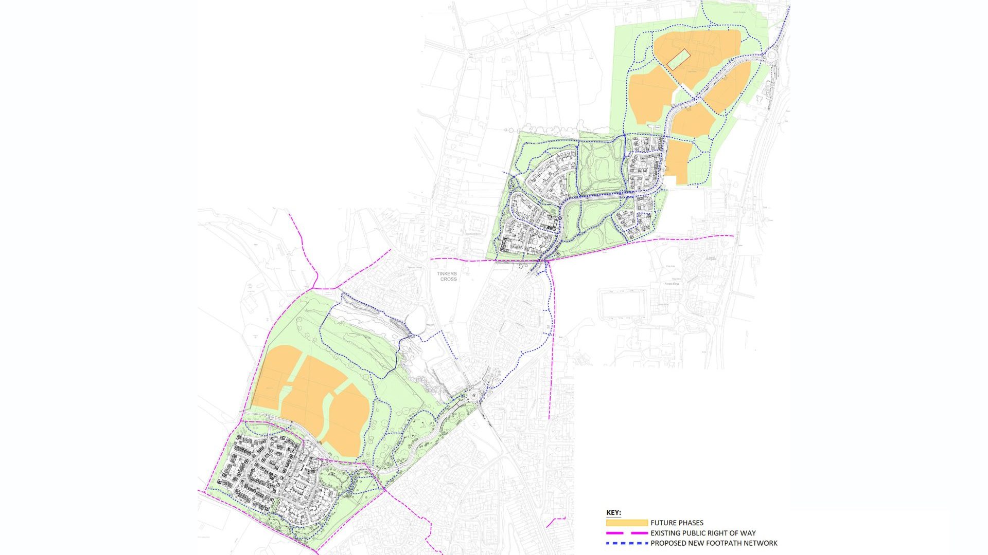
A number of Public Rights of Way (PRoW) are located within the immediate vicinity of the site. These provide routes across the site, routes to local destinations and access to the countryside and New Forest National Park surrounding Forde Valley. The PRoW network around Forde Valley is shown on the above map and PRoW maps and further information can be found here:
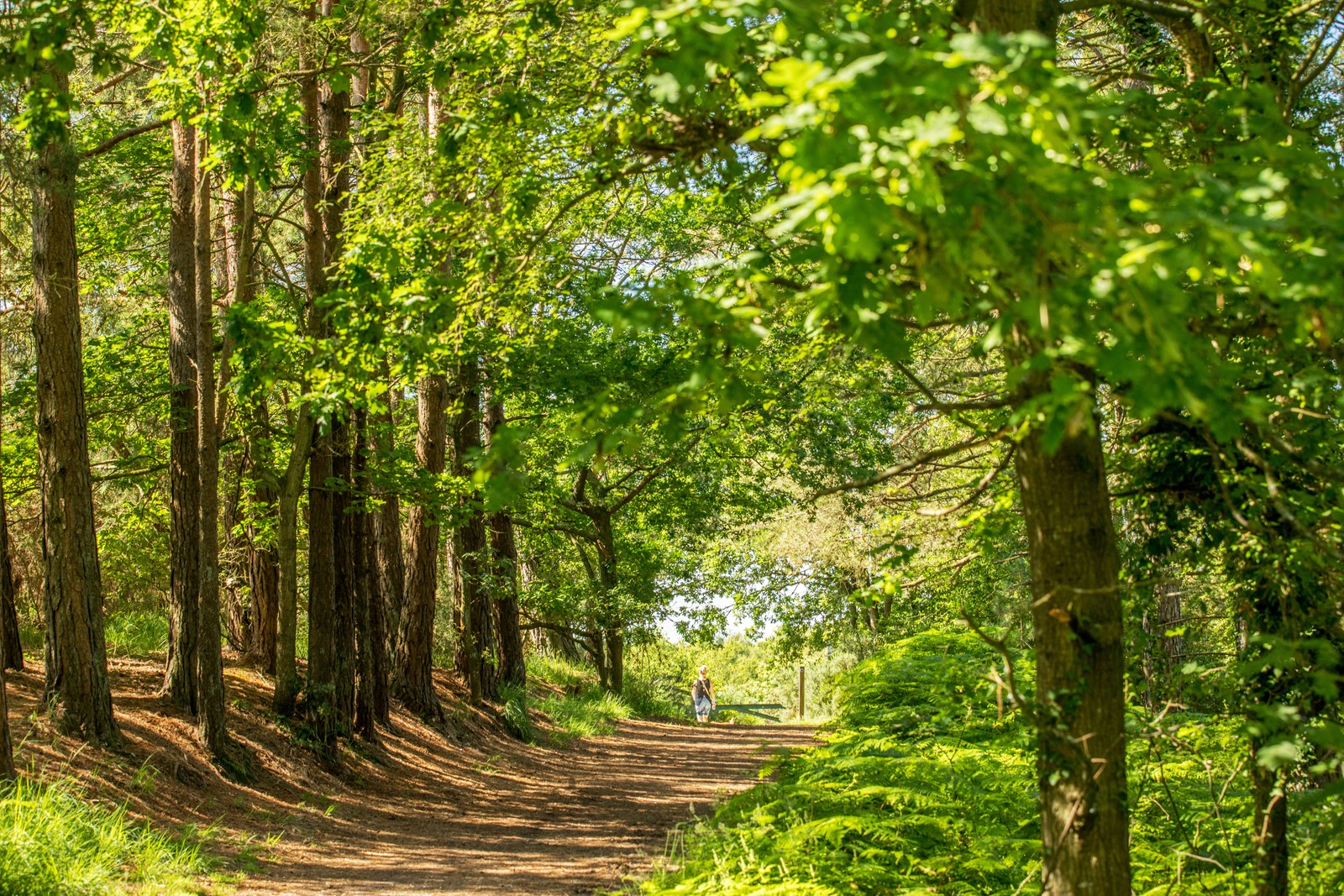
Explore more on foot or by bike
The development at Forde Valley is delivering around 33 hectares of green space and around 10km of new walking and cycling routes. Take a look at your local routes below.
At Forde Valley, walking and cycling are an important part of the way the development has been planned, with routes designed to make it easy to get around the community and connect with the surrounding area.
Footways and cycleways throughout the development will provide convenient pedestrian and cycle routes, while connections onto Whitsbury Road will link with the wider local network and provide access towards Fordingbridge and its schools, shops and everyday amenities.
For those looking to explore further afield, there are plenty of opportunities to enjoy the surrounding countryside. Pedestrian and cycle connections are provided to Puddleslosh Lane and Marl Lane to the west providing links with an existing bridleway and the wider network of public rights of way, with routes towards Sandleheath and Alderholt.
To the east, the Avon Valley Path offers a picturesque long-distance walking route between Salisbury and Christchurch, as well as opportunities to explore the countryside around Burgate, Ringwood and the New Forest.
Closer to home, the Suitable Alternative Natural Greenspace (SANG) and green space across Forde Valley provides an attractive natural setting for walking and enjoying the outdoors, with links to surrounding green spaces and local walking routes. With footpaths, cycle connections and countryside routes all within easy reach, Forde Valley makes it easier to leave the car at home and enjoy more of the local area on foot or by bike.
Public Rights of Way (PRoW)
Hampshire Rights of Way online | Hantsweb
Public access – New Forest National Park
To the north-east of Forde Valley is the Breamore Trail. This is a 2 mile walk that follows a disused railway line on the edge of the New Forest National Park. The network of new paths within Forde Valley will connect to the Breamore Trail in due course. Further details can be found here:
Breamore Old Railway Line Walk – Visit Hampshire
For other information and to find alternative walking routes in the area and beyond please visit:
Development Updates, Community News, Events & Useful Downloads
Latest News & Updates
Stay informed with the newest announcements, build progress and key community milestones